TRUE NORTH
LAND SURVEYING
Surveying Bell, Coryell, Williamson, McLennan, Lampasas and Burnet Counties
Jarrod R. Schnell, RPLS
254-281-9050
Registered Professional Land Surveyor
State of Texas No. 6869


Professional Land Surveying
BOUNDARY SURVEY
A survey performed to determine where your property lines are – marked on the ground, and mapped on a plat signed and sealed by a Registered Professional Land Surveyor. Legal research, mathematical calculations, field survey and preparation of the final plat and legal description (if needed).
TOPOGRAPHIC SURVEY
Surveying and mapping the lay of the land. Used for designing building locations, addressing drainage problems, and more.
ELEVATION CERTIFICATES
If your home is listed as being in the FEMA Flood Zone, a survey can be performed to verify the elevation. FEMA does not use surveyors for all of their floodplain mapping, and sometimes errors exist in those maps. If your property or part of your property is not in the flood zone, a surveyor can prepare the paperwork to have your land removed from the flood zone.
TITLE SURVEY
A boundary survey with additional mapping and other information that is typically prepared when a property is sold. The mapping shows the permanent improvements (house, driveway, etc.) and any potential encroachments. The plat map also may show any easements (power lines, building setbacks, etc.) which may touch or affect the property.
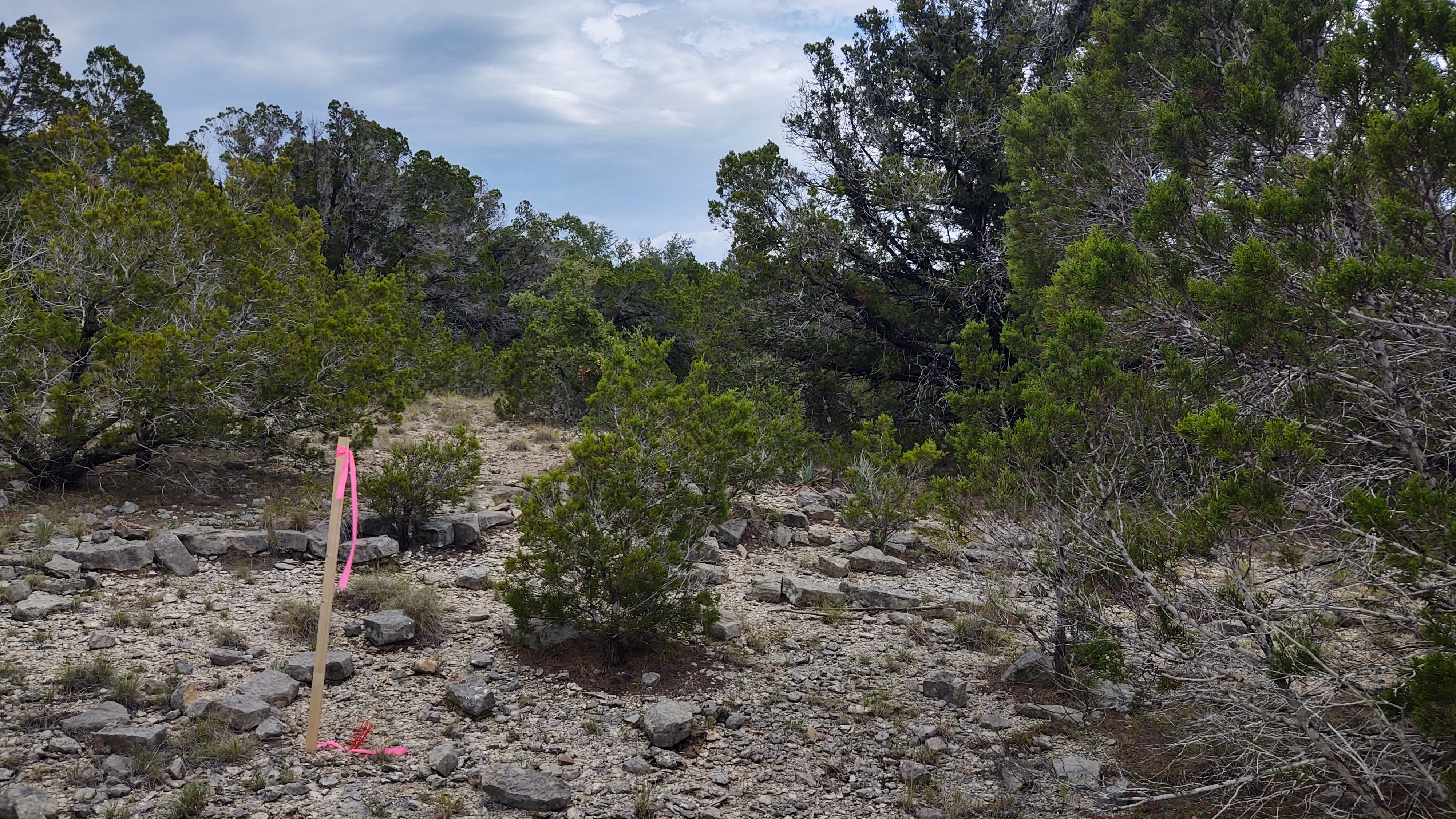
PROPERTY LINE STAKING
In addition to the boundary survey, setting wood stakes or other markers along the property lines to aid in the installation of a fence, placement of a building or driveway, or to identify the location of the line where there is a questions or dispute as to the location.
True North Land Surveying

Land Surveyors are the stewards of the Nation’s property boundaries, and our responsibility is to provide professional and accurate property location services.
PERSONAL TOUCH
When you call True North Land Surveying, you are calling me, Jarrod R. Schnell. I am the Registered Professional Land Surveyor (RPLS) who will be your point of contact for all aspects of the survey, from the initial questions you may have and the quote, to the field work to retrace and mark your property lines, and reviewing any questions you may have on the final stamped and signed plat of survey.
With many surveying companies, the RPLS never sets foot on the property. With True North Land Surveying, I will be the one performing the survey and finding or setting all of the corners. I will see, measure and determine every corner of your property.
EXPERIENCE
I have surveyed for homeowners, farmers, realtors, title companies, governmental agencies and businesses. I can work closely with you or your realtor or design professional, and the county and local officials that may need to review the project, to ensure the requirements of both the project and the governmental authority are being met. In addition to surveying in the field, I can prepare legal descriptions and plats leases, easements and licenses. I am also a licensed and trained FAA UAS (drone) pilot.
Only a state Registered Professional Land Surveyor can locate your property boundaries on the ground.
If you would like to get in touch regarding a survey, please fill out the Survey Quote form, or give me a call or text.
I typically survey in Bell, Coryell, Williamson, McLennan, Lampasas and Burnet Counties. The cities I most frequently work in are Killeen, Harker Heights, Nolanville, Belton, Temple, Copperas Cove, Salado, Troy, Florence, Georgetown and Kempner.

Professional Surveying – Central Texas

Focused Client Service
Complaints may be filed with the Texas Board of Professional Engineers & Land Surveyors here: https://pels.texas.gov/complaint.htm or: TBPELS, 1917 S Interstate 35, Austin, Texas 78741, (512) 440-7723
